My thesis research for my Master’s degree entailed two chapters, the two abstracts of which are attached below in addition to the abstract for the entire thesis as a whole prior to publication. Because I started my MS during the COVID-19 pandemic, I chose to use existing data from the scientific literature for my research. In short, I assessed how the magnitude of livestock depredation by carnivores varies based on the spatiotemporal scale of data collection (chapter 1), and used variables at predictive scales to model leopard density and determine how many leopards the world could potentially hold (chapter 2). My advisor was Dr. Jacqueline Frair from SUNY College of Environmental Science and Forestry. I successfully defended in April 2023, and received the Outstanding MS award from my department (Environmental Biology) for my work. The complete thesis is available under the university library’s digital repository, and links to the peer-reviewed scientific articles from my two chapters are posted below.

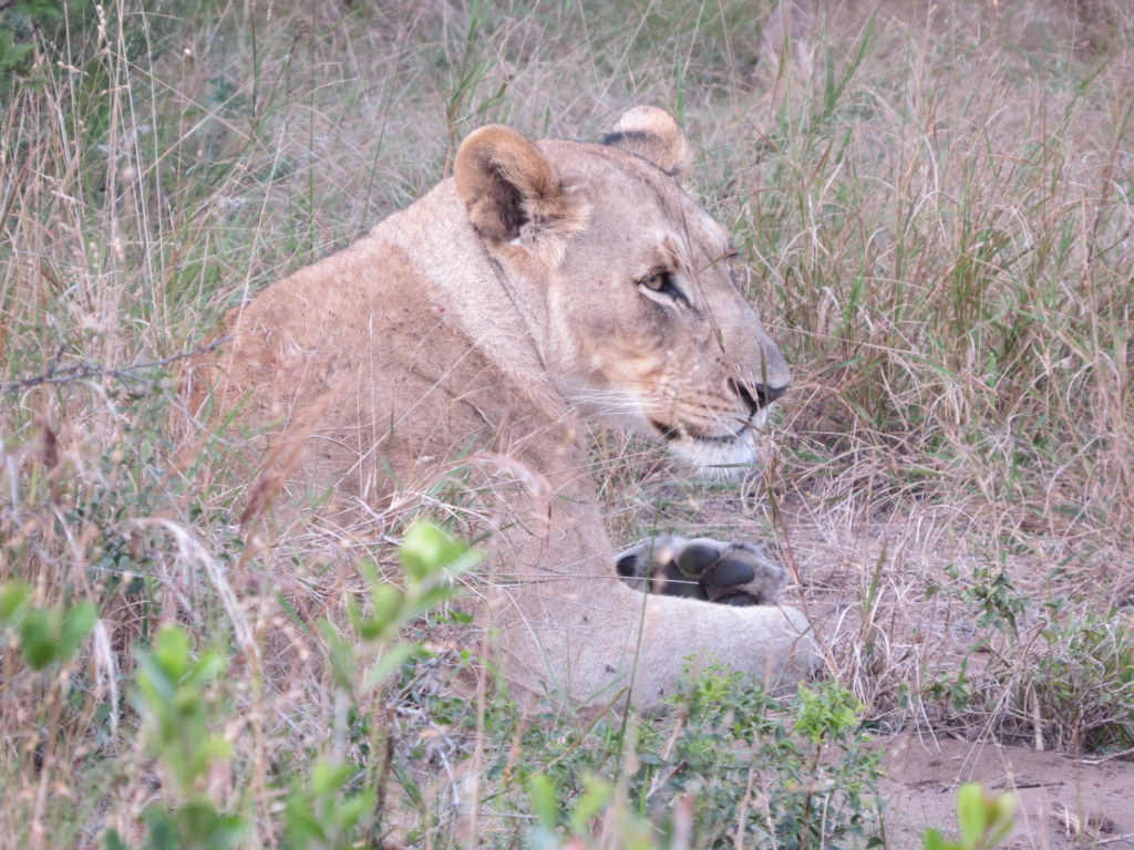
A Global Assessment of Scaling Relationships for Carnivore-Human Conflict and Leopard (Panthera pardus) Density
Thesis Abstract: Synthesizing information across disparate studies remains challenging in part due to scaling issues, a concept requiring greater consideration with respect to observations of human-carnivore conflict and range-wide predictions of species status. I used published records to examine: 1) spatiotemporal scaling in livestock depredation metrics, and 2) global drivers of potential leopard (Panthera pardus) abundance. Generally, the apparent magnitude of livestock depredation increased with spatial and temporal extent, whereas predicted leopard density decreased with spatial extent. Temperature, primary productivity, and human impacts, measured over 1- to 20-km2 spatial extents, explained 38% of the observed variation in leopard density globally after accounting for study design effects. This work provides the first spatially explicit map of potential leopard abundance from southern Africa to far-eastern Russia, sheds light on scaling relationships for carnivore conflict metrics, and discusses additional work needed to provide the most reliable information to guide conservation actions for large carnivores worldwide.
Key Words: carnivore-human conflict, density, leopard, livestock depredation, scale
Chapter 1: Scaling Issues in the Study of Livestock Depredation by Carnivores
Link to Peer-Reviewed Publication
Many studies have documented the magnitude and socioecological drivers of livestock depredation, yet few have assessed how observations of depredation might vary with spatiotemporal scale. Understanding scaling relationships may allow for more accurate aggregation of observations collected across diverse extents and resolutions to better inform management actions. Herein we examine how reported metrics of livestock depredation varied by spatial and temporal scale (extent and resolution) after controlling for other drivers of differences among studies. From 213 published studies we extracted conflict metrics (i.e., number of animals killed, number of attack incidents, and percent annual loss of stock) and regressed each against spatiotemporal extent (i.e., size of study area, duration of study) and resolution (i.e., minimum mapping unit, frequency of observations) while controlling for potential biases. The number of attacks or animals killed was positively related to spatial and temporal extent whereas percent annual loss of stock declined with extent. Further, the effects of scaling variables were modified through interactions with other factors (e.g., human density) known to influence human-carnivore conflict. The data available for spatiotemporal resolution were too sparse to draw conclusions. While scaling relationships were generally linear, they became increasingly noisy at broader extents. Consistent with other ecological investigations, the scale of observation influenced the observed outcomes in human-carnivore conflict metrics. Authors should report the spatiotemporal dimensions of their observations to improve robust inference in comparative studies. Enhanced understanding of scaling relationships in human-carnivore conflict metrics should improve strategic allocation of resources to better mitigate future conflict.
Note: I was able to give one poster (2021) and two oral (2022) presentations on this part of my thesis at conferences, specifically The Wildlife Society and American Society of Mammalogists annual meetings.
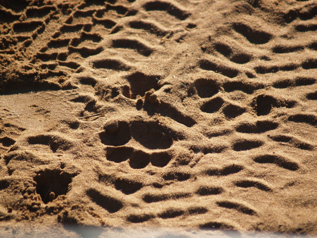
Chapter 2: Spatially Explicit Estimates of Global Population Potential for Leopard (Panthera pardus)
Link to Peer-Reviewed Publication
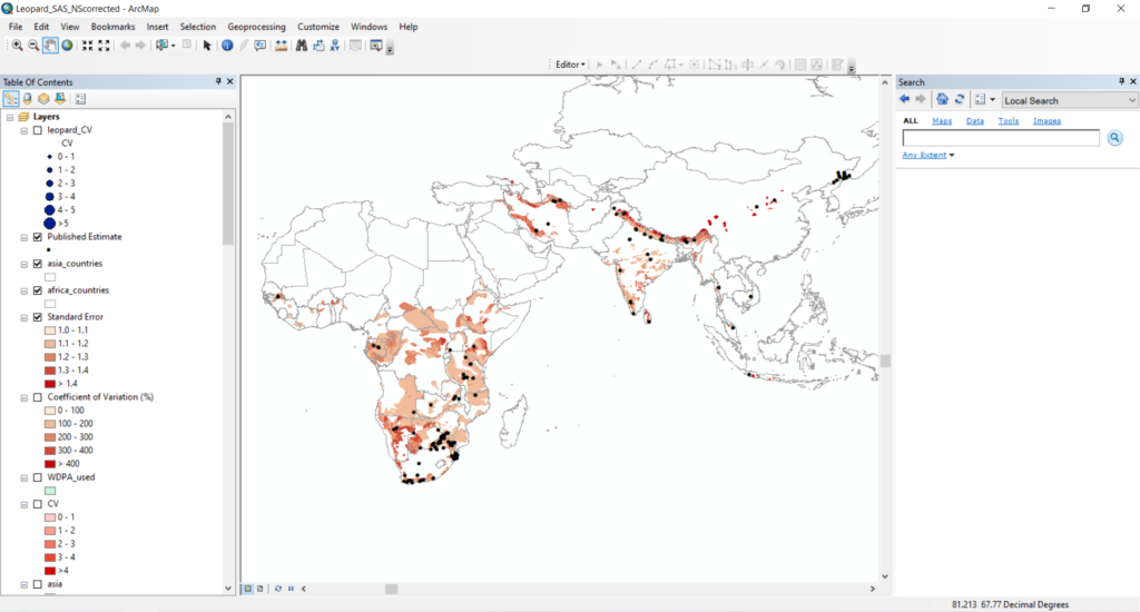
Many studies have assessed local densities of threatened carnivore species, but few have synthesized existing data into range-wide estimates based on habitat potential. Identifying where observed densities differ from expected values may help focus conservation attention. Herein, we related published leopard density estimates and a random selection of 0 values from across their extirpated range (N = 209) to environmental and anthropogenic drivers. We then produced a spatially explicit estimate of expected density throughout the contemporary range of this species. We compared 16 candidate models that weighed density estimates by the inverse of their standard error, controlled for study design effects, and included spatial covariates at their optimal scale as determined by Akaike’s Information Criterion. Expected leopard density ranged from 0 to 8 individuals/100 km2 and was positively and strongly related to the proportion of protected area at the 5-km scale, less so to the proportion of developed land cover (5-km), and negatively associated with human density (1-km), temperature (20-km), and longitude. Prediction error ranged from 0 to 12 leopards/100 km2, being greatest in India and its bordering countries. Overall, our model produced an expected value of 131,300 (42,692–428,498 95% CI) leopards globally. We predicted high expected densities in southern and eastern Africa where many published studies originate. Central and West Africa also hold high potential but lack estimates. Fine-scale variables and legacies of armed conflict that have depleted biodiversity should be considered when evaluating contemporary species status, and our predictions may highlight areas where conservation action could be most effective.